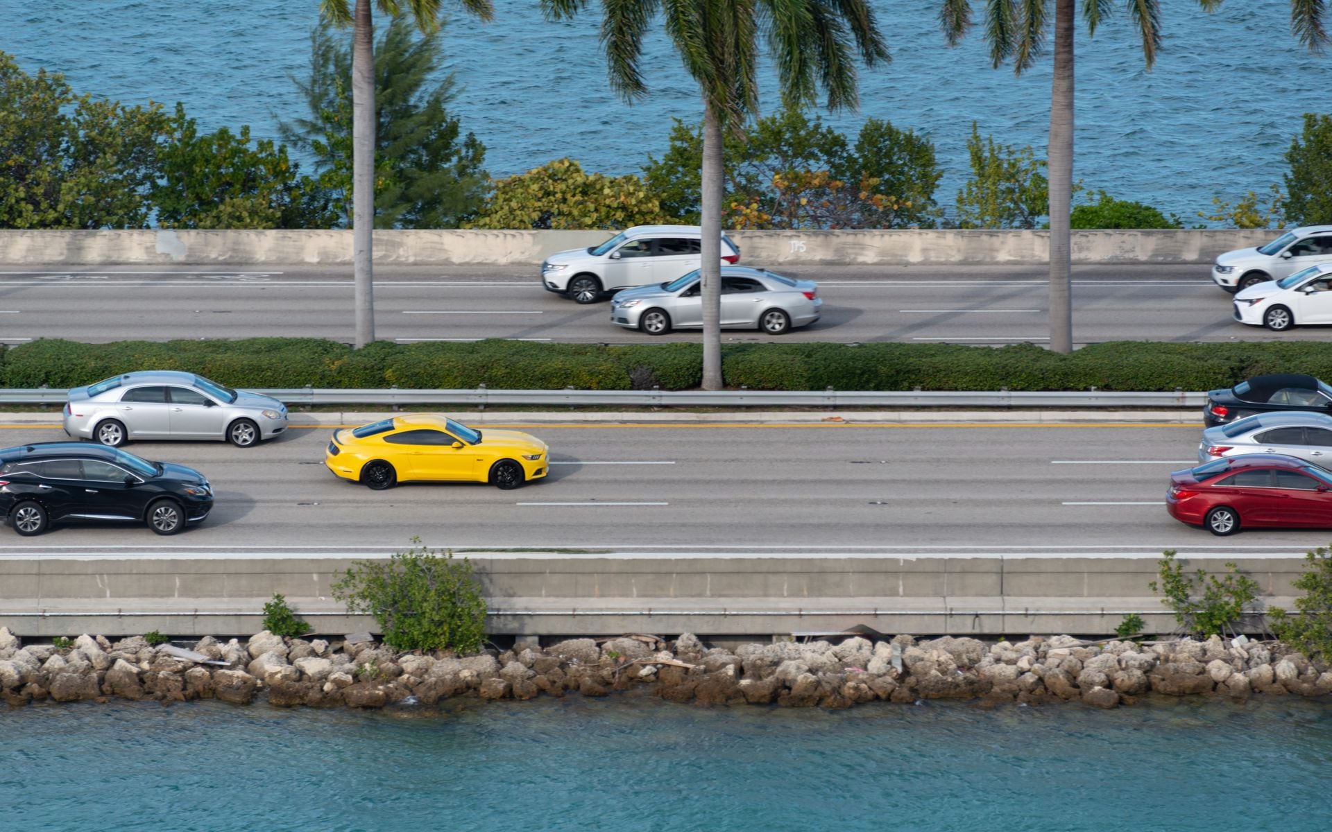
The Florida Keys road trip is one of the great American drives, and it is deceptively simple: one road, US-1, running 113 miles from the mainland out to Key West over a chain of islands and 42 bridges. The catch is that it is mostly two lanes, and the mile markers, not addresses, are how everyone navigates. Miami to Key West is 3.5 to 4 hours if you drive straight through, but driving straight through misses the whole point. Here is how to do the Keys road trip properly, broken down by island, with real stops and real drive times.
How the mile markers work
Everything in the Keys is measured by green mile-marker signs that count down from around MM 113 just south of Florida City to MM 0 in Key West. Businesses give their location as a mile marker, and “bayside” or “oceanside” tells you which shoulder to turn toward. Once you get the system, the whole chain reads like an address book. Do not fight your phone’s map here. Watch the markers.
How many days you need
Give the Keys three to four days minimum, not a day trip. The drive alone eats most of a day each way if you stop at all, and stopping is the reason to come. A clean plan is one night in the Upper Keys, one or two in Key West, and an unhurried drive back. For how this fits a bigger trip, see how many days you need in Florida.
Key Largo (MM 106 to 91): the diving start
Key Largo is the first island and the self-styled dive capital. The anchor stop is John Pennekamp Coral Reef State Park at MM 102, the first undersea park in the country, where you can snorkel or dive the reef or take a glass-bottom boat if you want to stay dry. Give it a half day. If you want a marina base with old-Keys character, Gilbert’s Resort & Marina at MM 107 sits right at the top of the chain and has the tiki-bar-and-water-view thing down. This is your warm-up island. Get in the water, eat some conch, and keep moving.
Islamorada (MM 90 to 74): the fishing heart
Islamorada calls itself the sport-fishing capital of the world, and it earns it. The must-do stop is Robbie’s of Islamorada at MM 77.5, where you can feed the giant tarpon off the dock, rent a boat, or book a fishing or snorkeling trip. It is touristy and it is worth it. Islamorada is also where the Keys start to feel like the Keys: sandbars, backcountry flats, and the kind of on-the-water lunch you plan a day around. If fishing is your reason for the trip, this is the island to add an extra night.
Marathon and the Middle Keys (MM 73 to 47)
Marathon is the practical middle of the chain and a good place to break up the drive with kids. The Turtle Hospital runs guided tours, and the beaches here are better than most of the Upper Keys. Just past Marathon comes the headline crossing: the Seven Mile Bridge at MM 47, one of the longest bridges in the country and the stretch everyone pictures when they think of this drive. The old bridge runs alongside the new one, and Pigeon Key at the far end gives you a place to stop and look back. Fuel up in Marathon. The Lower Keys have fewer services.
The Lower Keys (MM 47 to 4): the quiet stretch
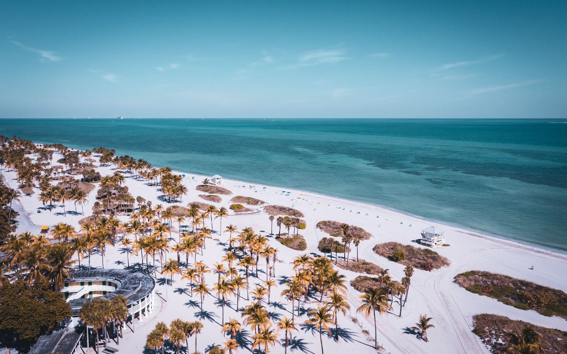
Below the Seven Mile Bridge the Keys get quieter and greener. Bahia Honda State Park at MM 37 has the best natural beach in the whole chain, with sand and shallow water that look like the postcards. Big Pine Key is home to the tiny Key deer, so drive slow and watch the shoulders, especially at dusk. This is the stretch to slow down and let the pace of the Lower Keys sink in before Key West.
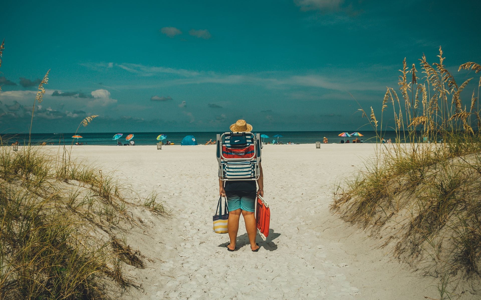
Key West (MM 0): the end of the road
Key West is the payoff. Base yourself at Opal Key Resort & Marina near the historic seaport and you can walk to Mallory Square for the nightly sunset celebration, Duval Street, and the water. Book a reef or sunset trip with Fury Key West Watersports or Sunset Watersports Key West, both a short walk from the harbor, or a sailing-and-kayak combo with Danger Charters. Do not miss Fort Zachary Taylor Historic State Park Beach, the best swimming beach in town and a shady spot to cool off. If you have an extra day and it is peak season, book the Dry Tortugas ferry weeks ahead, because it sells out. Our driving to Key West post covers the highway logistics, and the full Florida Keys road trip itinerary lays out a day-by-day version.
Drive times at a glance
| Segment | Distance | Time (no stops) |
|---|---|---|
| Miami to Key Largo | ~60 mi | ~1 hr 15 min |
| Key Largo to Islamorada | ~20 mi | ~30 min |
| Islamorada to Marathon | ~30 mi | ~45 min |
| Marathon to Key West | ~50 mi | ~1 hr 15 min |
| Miami to Key West total | ~113 mi | ~3.5 to 4 hrs |
What to eat along the way
The Keys run on seafood, and the food is part of the trip. Conch fritters, stone crab in season (roughly October through May), fresh-caught hogfish and yellowtail snapper, and a slice of key lime pie are the checklist. In the Upper Keys, waterfront spots and tiki bars line US-1, and Gilbert’s Resort & Marina in Key Largo is a classic marina bar to start with. Robbie’s of Islamorada has a restaurant right where you feed the tarpon. In Key West, the seaport around Opal Key Resort & Marina is walkable to raw bars and conch shacks, and the whole town takes key lime pie seriously enough that you can turn tasting it into a small tour of its own. Eat where the boats come in and you will not go wrong.
When to go
The Keys are best in the dry season, roughly November through April, when the humidity drops, the water clarity is high, and the fishing and diving are at their peak. Winter cold fronts can kick up wind and cancel boat trips for a day, so build in flexibility if you have your heart set on the water. Summer is hotter and brings near-daily afternoon thunderstorms, but also warm, calm water and lower crowds midweek. Hurricane season runs June 1 through November 30 and peaks August through October. Since US-1 is the only road out, watch the forecast in those months and consider travel insurance. Lobster mini-season in late July and the winter holidays are the busiest weeks on the road, so plan around them if you can. See the best time to visit Florida for the full seasonal picture.
What to book ahead
The Keys reward planning, because the best water experiences sell out and the two-lane road does not let you improvise much. Book your on-water trips before you leave home in peak season (roughly November through April). In Key West, Fury Key West Watersports and Sunset Watersports Key West run reef snorkel and sunset sails from the harbor, and Danger Charters does a quieter sail-and-kayak combo out into the backcountry. If fishing is the point, the historic Charter Boat Row on North Roosevelt Boulevard is where the offshore boats tie up, with operators like Gulfstream Fishing, Inc. running party-boat trips for people who do not want to charter a whole boat. Up the chain, Robbie’s of Islamorada at MM 77.5 handles boat rentals and backcountry trips, and the Upper Keys dive scene launches from John Pennekamp Coral Reef State Park at MM 102.
Lodging books up just as fast. The seaport in Key West, where Opal Key Resort & Marina sits, is the walk-everywhere base, and rooms there command a premium for the location, so reserve months out for winter and holiday weeks. If you want old-Keys character on the way down, Gilbert’s Resort & Marina at MM 107 in Key Largo puts you on the water at the top of the chain. And if the Dry Tortugas is on your list, the ferry from Key West sells out weeks ahead in peak season, so that is the first thing to lock in, not the last.
Practical tips for the drive
Fill the tank on the mainland or in Marathon, because gas gets pricey and sparse the farther south you go. Cell service drops in patches, so download your route. Traffic backs up around Islamorada and on holiday weekends, so leave early. Watch the weather in hurricane season (June through November) since US-1 is the only road in and out, and check the best time to visit Florida before you set dates. Give yourself more time than the map says, and start planning the rest of the trip from our Florida travel guide.